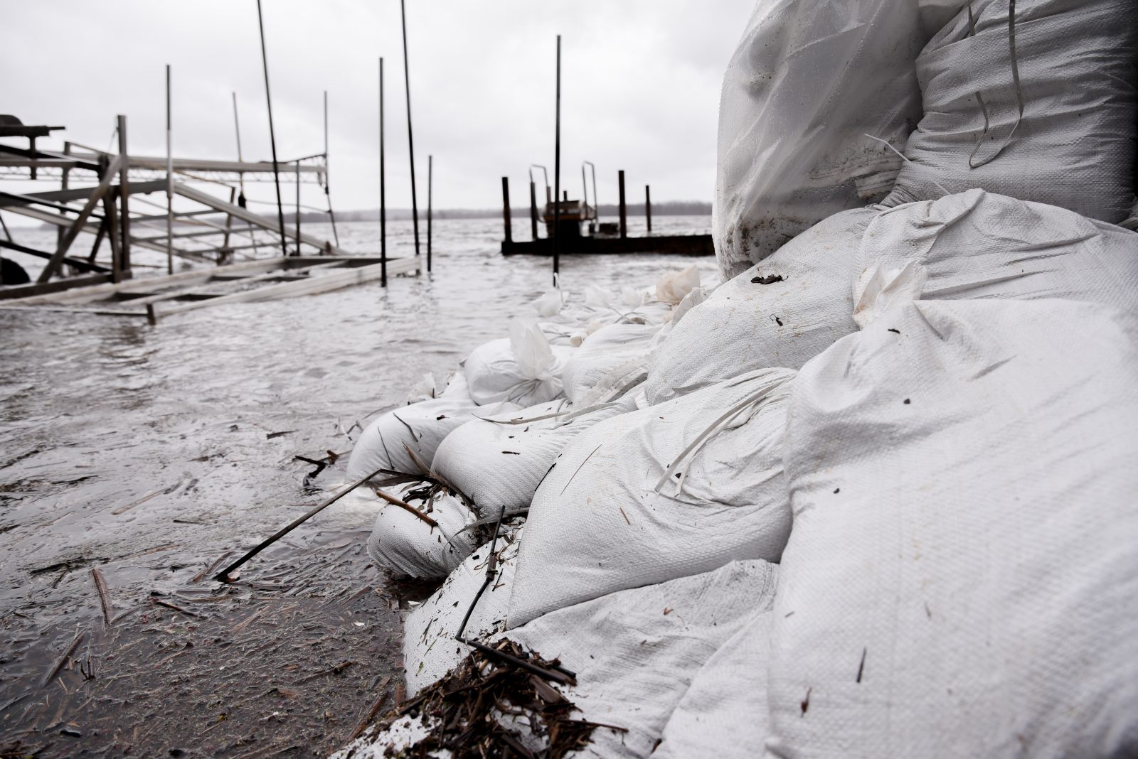
The South Nation Conservation Area (SNC) expects less flooding than normal this year as warm weather coupled with limited precipitation means rivers in the area have most likely already passed peak water levels.
“It’s definitely been an unusual year,” said Katherine Watson, coordinator of early warning systems and watershed plans for the SNC.
Watson explained that the warm weather has caused lower than normal ice formation on rivers and reduced snow pack on the ground. Though the first months of winter seemed to adhere to normal, SNC reported low levels of precipitation in February and March.
Coupled with the warm weather, the lower levels of participation meant most of the snow and ice formations melted before the end of March causing water levels to reach their peak earlier in the season.
“It’s looking like we’ve already had our spring freshet,” said Watson, referring to the annual snow and ice melt that causes bodies of water to swell and flood.
While this may be good news for riverside communities looking to avoid the damage to property as seen in past years, the ground moisture levels are also under seasonal norms. Fortunately, Watson explains that the region has not hit any threshold indicating a drought, unlike other regions in Northern and Southern Ontario.
According to Watson, the warmer than usual weather is caused by the weather phenomenon El Niño, marked by periods of unusually warm water in the Pacific Ocean. Watson stated that one year isn’t a big enough sample size to determine weather or not the record-breaking year was partially caused by climate-change.