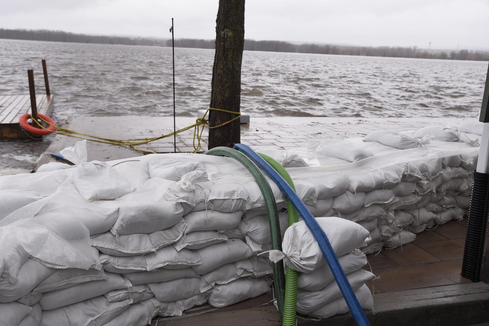
More than 40 milimetres of rain fell over the weekend, with an additional 10 to 15 millimetres forecasted by Tuesday, May 2, adding more water to the Ottawa River at a time when water levels are already near major flood thresholds.
The ORRC expects between Gatineau and Montreal the levels could rise an additional 15 to 20 centimetres as runoff from the rainfall event makes its way into the main part of the river. The water flow reading at Carillon, Québec as of Monday, May 1, was 6414 cubic metres per second. Flow is expected to increase to 7000 cubic metres per second by Wednesday.
SNC and the Ministry of Natural Resources and Forestry have stated that Rockland and Hawkesbury are areas of concern. In its latest update issued Friday, April 28, the SNC said the water level in Rockland could rise by an additional 45 centimetres above levels recorded last Friday morning, which were 25 centimetres above the highest level recorded this year. A similar increase in water levels near Hawkesbury are expected, at approximately 40 centimetres above current levels.
Residents are encouraged to keep an eye on changing water and weather conditions throughout the week, as uncertainty remains regarding rainfall amounts in the coming days and people are advised to stay away from watercourses where flows are high and where banks might be unstable. Parents are also encouraged to explain dangers to children and provide supervision near all waterbodies.
The SNC also notes that water level forecasts do not account for the impact of wind and waves along the shores of the river.


