On Tuesday, March 28, hundreds of residents attended the SNC’s open house at the Wendover Lucien-Delorme Community Centre to view and ask questions about the conservation authority’s updated data.
These maps were updated for the first time since 1980’s and take into account the massive flooding experienced in 2017 and 2019, and the resulting review and recommendations from Ontario’s Special Advisor on Flooding. The SNC, supported by the federal and provincial governments as well as the United Counties of Prescott-Russell, created the maps using “state-of-the-art digital topographic information, field surveys, bathymetry (water depth) and water resource modelling.”
The new maps provide a better understanding of the water flow and location of flooding and erosion hazards during storm events, including the greatest of either a one-in-100-year floodplain or riverine erosion hazard. These maps include the risk of either a storm event with a one per cent chance of occurring in any given year, or where there are steep slopes or erosion risks.
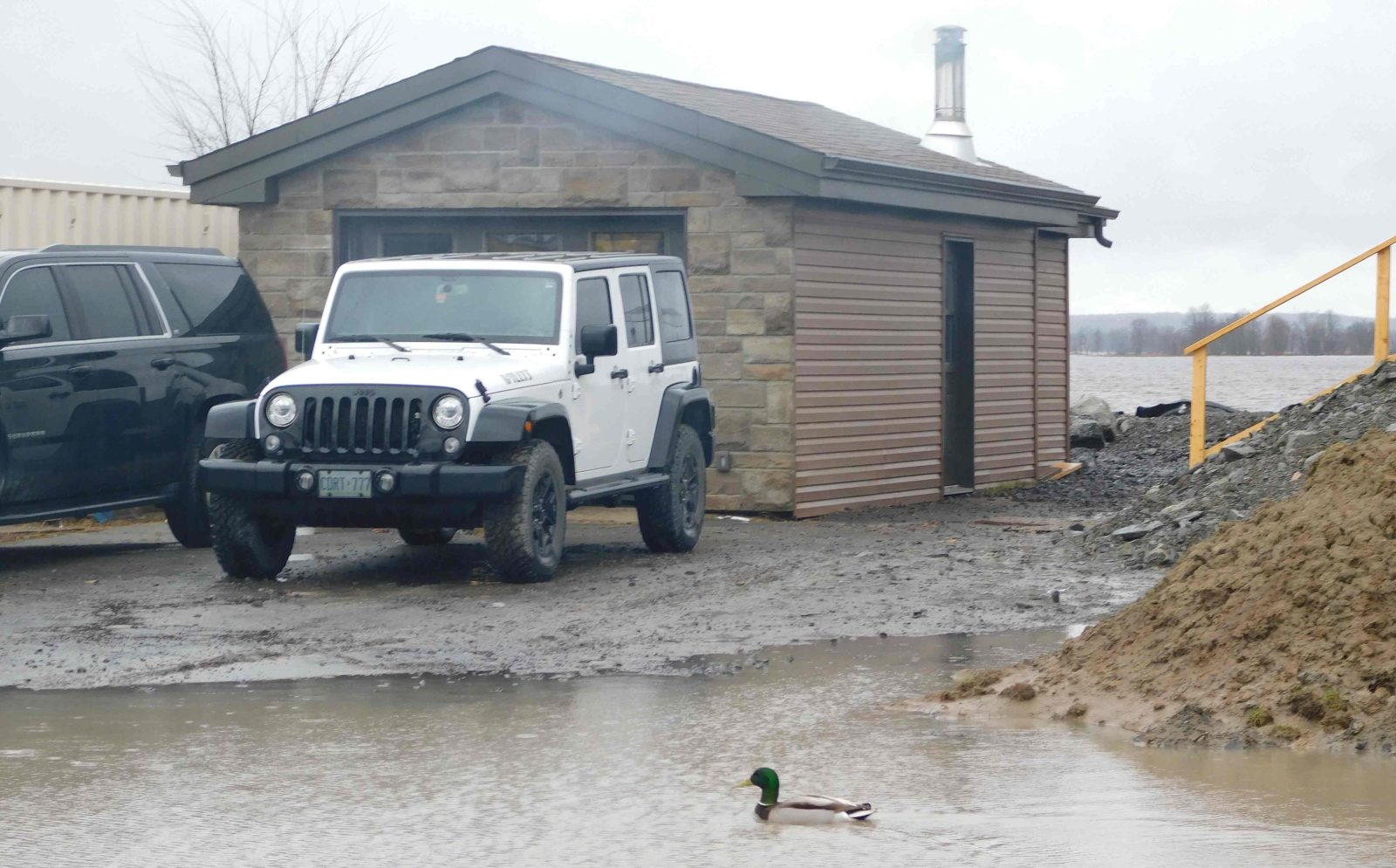
While some residents remain unaffected by the changed maps, others may have to make more difficult decisions if and when they look to renovate or sell their homes as those lands now fall within the assumed flood risk area.
Save for a few tributaries like Ruisseau Lafontaine and Clarence Creek, the flooding zone extends directly from the Ottawa River, stopping at Old Highway 17 in the west, then Principale Street, Concession 1 and Domain Road heading east. Other higher risk areas are Georges Lake near Boundary Road and Atocas Bay.
The draft maps are available on the SNC’s website. The updated maps will remain in draft form until the public consultation period comes to an end on April 14. The maps will then have to be approved by the SNC board of directors.